GARDEN STATENEWS NETWORKNew Jersey Weather & Live Radar
Weather & Live Radar
Real-time radar, storm tracking, and severe weather alerts for every county in New Jersey.
Live Radar — New Jersey
UpdatingNJ Weather Alerts
Loading active alerts…
7-Day Forecast
Mercer County
Loading forecast…
Source: National Weather Service
Recent Weather Reports
All weather
🌅 GOOD MORNING & HAPPY TUESDAY — SEPTEMBER 15, 2026! 🌅
New Jersey residents can expect a beautiful Tuesday with sunshine and comfortable temperatures. Highs will reach the mid to upper 70s across the state, while overnight lows will dip into the 50s under mostly dry skies.

🌅 GOOD MORNING & HAPPY MONDAY — SEPTEMBER 14, 2026! 🇺🇸☀️
New Jersey will enjoy a mostly sunny and less humid Monday with comfortable afternoon temperatures in the mid-70s. The cooler conditions follow a humid Sunday, with overnight lows expected to drop into the 50s across the state.

🌅 GOOD MORNING & HAPPY SUNDAY, NEW JERSEY! 🇺🇸☕ — SEPTEMBER 13, 2026
New Jersey faces a humid Sunday with morning rain and possible thunderstorms that could lead to localized flooding. A Flood Watch remains in effect as temperatures reach a high of 82 degrees Fahrenheit before skies begin to clear this afternoon.
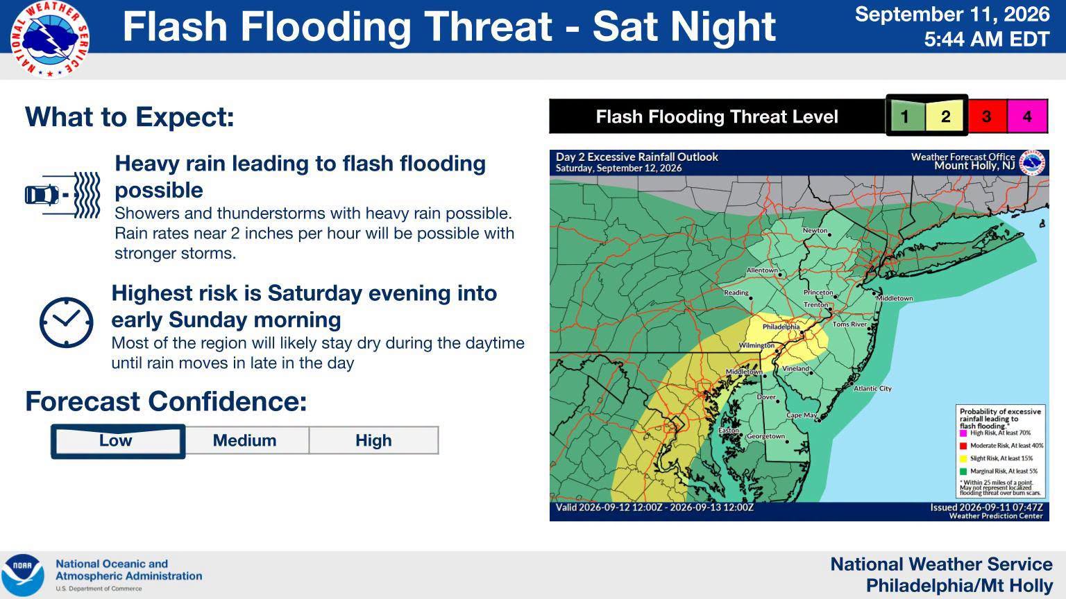
🌧️ WEEKEND WEATHER ALERT: HEAVY RAIN & FLASH FLOODING POSSIBLE ACROSS PARTS OF NJ ⛈️
New Jersey faces heavy rain and potential flash flooding starting Saturday night through Sunday morning. Some areas could see rainfall rates up to two inches per hour, which may overwhelm drainage systems and create dangerous driving conditions across the state.

🌅 GOOD MORNING & HAPPY SATURDAY! — SEPTEMBER 12, 2026 🌅
New Jersey will see a mix of sun and clouds this Saturday with high temperatures in the low 80s. Showers and thunderstorms are likely tonight and into Sunday, bringing the potential for heavy rain across the state.

🌅 GOOD MORNING & HAPPY FRIDAY, NEW JERSEY! 🇺🇸 | SEPTEMBER 11, 2026
New Jersey will observe a day of remembrance for September 11 with pleasant weather and low humidity. Residents can expect sunshine and comfortable temperatures reaching the high 70s or low 80s before a clear, cool night.

🌅 GOOD MORNING & HAPPY THURSDAY — SEPTEMBER 10, 2026! 🇺🇸☀️
New Jersey will be humid and breezy today with temperatures reaching the high 80s. A stray morning shower is possible, while scattered thunderstorms may arrive later this afternoon.

🌅 GOOD MORNING & HAPPY WEDNESDAY — SEPTEMBER 9, 2026! 🌅
New Jersey will see a warm and humid Wednesday with temperatures reaching the high 80s. While most areas will stay dry today, residents should prepare for breezy afternoon conditions and a chance of thunderstorms on Thursday.

🌅📚 GOOD MORNING & HAPPY TUESDAY — SEPTEMBER 8, 2026! ☀️🇺🇸
Students across New Jersey are returning to school this Tuesday under a mix of sun and clouds with highs in the low 80s. Drivers are urged to stay alert and stop for school buses to ensure student safety.

🌅 GOOD MORNING & HAPPY SUNDAY — SEPTEMBER 6, 2026! ☀️🇺🇸
New Jersey will see a mix of sun and clouds this Sunday with temperatures reaching a high of 77 degrees. While a brief shower is possible, the holiday weekend weather remains mostly comfortable across the state.

🌅 GOOD MORNING & HAPPY SATURDAY! 🇺🇸☀️ September 5, 2026
New Jersey residents can expect a beautiful start to the holiday weekend with mostly sunny skies and low humidity. Temperatures will reach a high of eighty-three degrees, providing comfortable conditions for outdoor activities and trips to the shore.

🌅 GOOD MORNING & HAPPY FRIDAY! 🇺🇸☀️ 📅 Friday, September 4, 2026
New Jersey faces a humid Friday with temperatures in the 80s and potential afternoon thunderstorms. The National Weather Service warns that some storms may cause flash flooding and damaging winds as the holiday weekend begins.
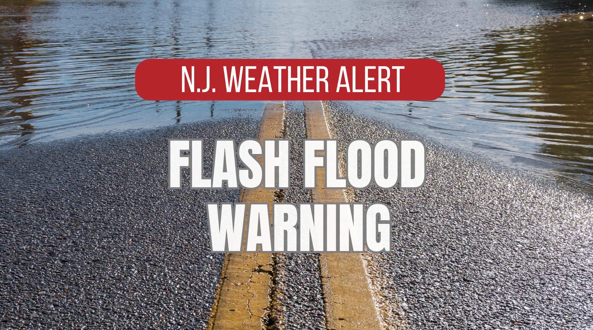
⚠️🌧️ FLASH FLOOD WARNING IN EFFECT UNTIL 5:30 AM 🌧️⚠️
Gloucester County Emergency Management has issued a Flash Flood Warning until 5:30 AM due to storms producing heavy rainfall. Residents are urged to avoid driving through flooded roads and to stay alert as storms move through the Philadelphia metropolitan area.
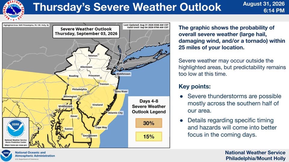
🌅 GOOD MORNING & HAPPY THURSDAY! | NJ WEATHER — SEPTEMBER 3, 2026 🌅
New Jersey will experience hot and very humid weather this Thursday, with temperatures reaching the high 80s. Scattered thunderstorms may become severe, potentially bringing damaging winds and flash flooding to the area.

🌅☕ GOOD MORNING & HAPPY WEDNESDAY — SEPTEMBER 2, 2026 🌤️🇺🇸
New Jersey will see quieter weather this Wednesday following severe overnight storms. Temperatures will reach the 70s with humid conditions, though residents should expect mostly cloudy skies and a few isolated showers or thunderstorms later in the day.
🚨⛈️ SEVERE THUNDERSTORM WARNING — UNTIL 11:00 PM ⚡🚨
The National Weather Service issued a severe thunderstorm warning for Atlantic and Cape May counties until 11:00 p.m. Residents should stay indoors to avoid dangerous lightning, damaging winds, and flash flooding on local roadways.
🌪️🚨 TORNADO WARNING — BURLINGTON COUNTY
A Tornado Warning is in effect for Burlington County until 9:45 PM. Residents should take shelter immediately in an interior room on the lowest floor of a sturdy building and stay away from windows until the danger passes.
⛈️🚨 SEVERE THUNDERSTORM WARNING — OCEAN & BURLINGTON COUNTIES
A Severe Thunderstorm Warning is in effect for parts of Ocean and Burlington counties as a storm moves through the region. Residents should expect 60 mph wind gusts and quarter-size hail, which could damage trees, power lines, and vehicles.
⛈️🚨 SEVERE THUNDERSTORM WARNING — GLOUCESTER COUNTY & SURROUNDING AREAS
A Severe Thunderstorm Warning is in effect for Gloucester, Camden, and Salem counties until tonight. The storm brings 60 mile per hour wind gusts and quarter-size hail that could damage trees, power lines, and vehicles across the region.
🚨⛈️ SEVERE THUNDERSTORM WARNING — UNTIL 9:15 PM ⚡🚨
The National Weather Service issued a severe thunderstorm warning for Cumberland, Gloucester, and Salem counties until 9:15 p.m. Residents should stay indoors to avoid dangerous wind gusts, lightning, and potential flooding on local roadways.
🚨⛈️ SEVERE THUNDERSTORM WARNING — UNTIL 9:00 PM ⚡🚨
The National Weather Service issued a severe thunderstorm warning for five New Jersey counties until 9:00 p.m. tonight. Residents should stay indoors to avoid damaging winds, frequent lightning, and potential flooding across the region.
🚨⛈️ SEVERE THUNDERSTORM WARNING — UNTIL 8:15 PM ⚡🚨
The National Weather Service has issued a severe thunderstorm warning for parts of Middlesex and Monmouth counties until 8:15 p.m. Residents should stay indoors to avoid hazards including damaging wind gusts, frequent lightning, and localized flooding.
⚡️⛈️ SEVERE THUNDERSTORM WARNING EXTENDED until 7:45pm! — MONMOUTH COUNTY ⚡🚨
The National Weather Service has extended a severe thunderstorm warning for Monmouth County until 7:45 p.m. tonight. Residents should stay indoors to avoid hazards including damaging winds, frequent lightning, and potential flash flooding on local roadways.
🚨⛈️ SEVERE THUNDERSTORM WARNING — MIDDLESEX COUNTY ⚡🚨
The National Weather Service issued a severe thunderstorm warning for Middlesex County until 7:30 p.m. Residents should expect damaging wind gusts and heavy rain that could cause flash flooding and downed trees.
🚨🌊 FLASH FLOOD WARNING — MORRIS COUNTY 🌧️🚨
The National Weather Service issued a flash flood warning for Morris County effective until 11:15 p.m. Heavy thunderstorms are producing intense rainfall, and officials advise residents to move to higher ground and avoid driving through floodwaters.
🚨⛈️ SEVERE THUNDERSTORM WARNING — UNION COUNTY ⚡🚨
The National Weather Service issued a severe thunderstorm warning for Union County effective until 7:30 p.m. Residents should stay indoors to avoid hazards including damaging winds, frequent lightning, and heavy rain that could cause flooded roadways.
🚨🌊 FLASH FLOOD WARNING — ESSEX & UNION COUNTIES 🌧️🚨
The National Weather Service issued a life-threatening flash flood warning for Essex and Union counties until 9:00 PM. Residents should avoid flooded roads and move to higher ground immediately if water begins to rise.
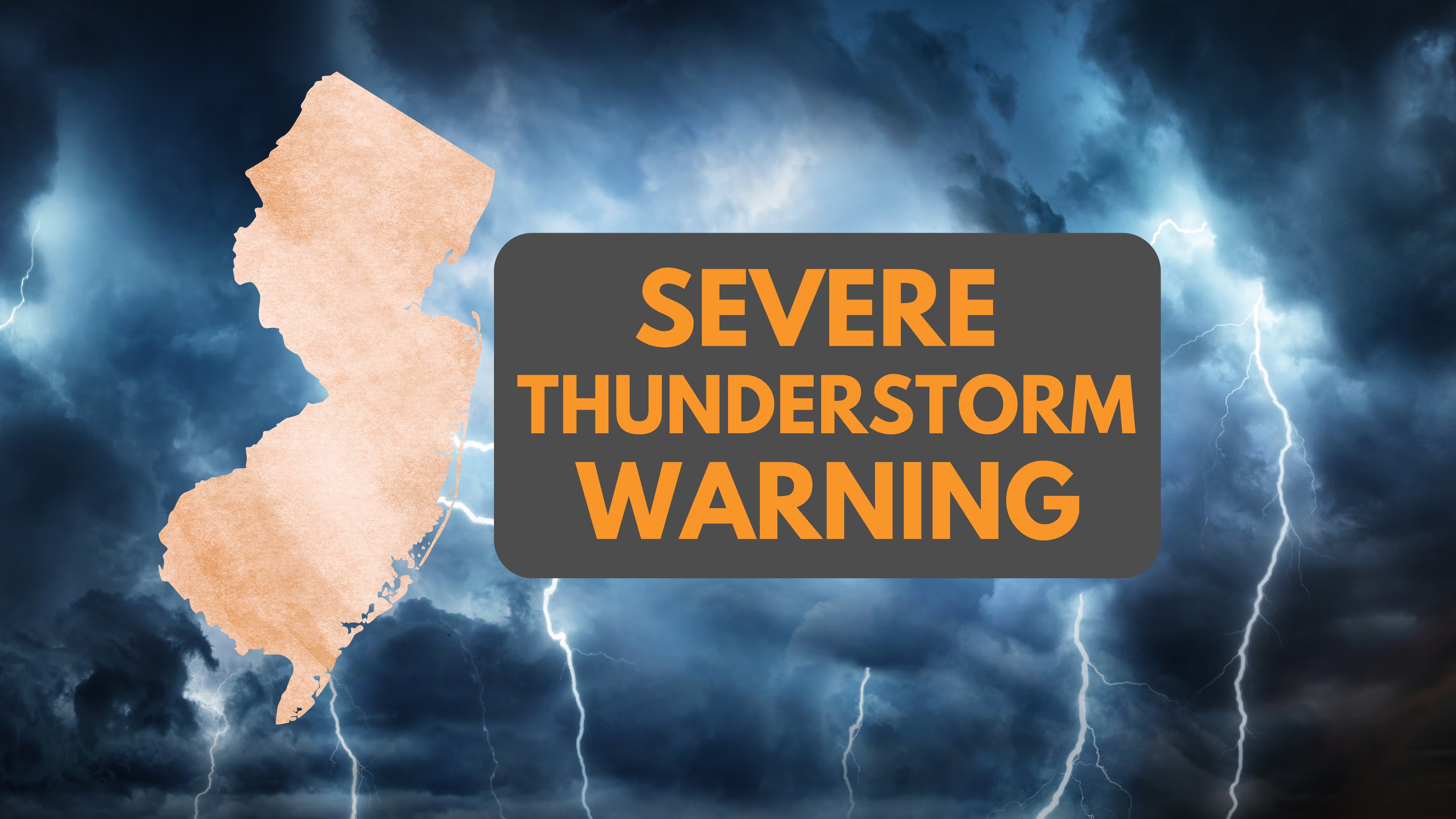
🚨⛈️ SEVERE THUNDERSTORM WARNING EXTENDED — MONMOUTH COUNTY ⚡🚨
The National Weather Service has extended a severe thunderstorm warning for Monmouth County until 7:45 p.m. Residents should expect damaging wind gusts, heavy rain, and frequent lightning, and officials advise avoiding travel due to the risk of localized flooding.
🌧️🚨 FLOOD ADVISORY — ESSEX & UNION COUNTIES 🚨🌧️
Essex and Union counties are under a flood advisory until 9:00 PM tonight due to heavy rainfall and thunderstorms. Residents should avoid driving through flooded streets and stay away from low-lying areas prone to sudden water buildup.
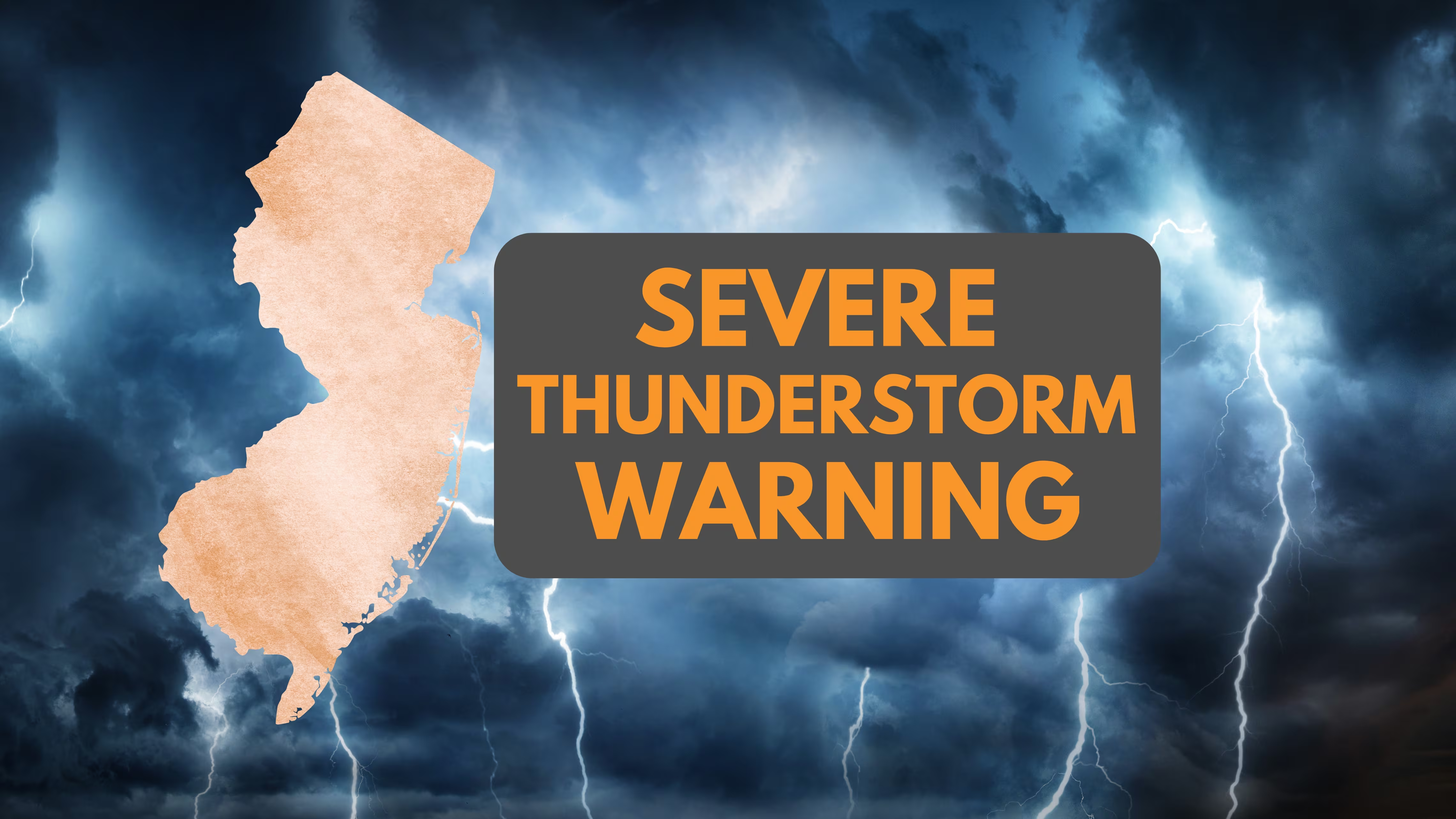
🚨⛈️ SEVERE THUNDERSTORM WARNING — ESSEX & UNION COUNTIES ⚡🚨
A Severe Thunderstorm Warning is in effect for Essex and Union counties until 7:30 p.m. residents should seek shelter immediately to avoid damaging winds, frequent lightning, and heavy rain that could cause roadway flooding.
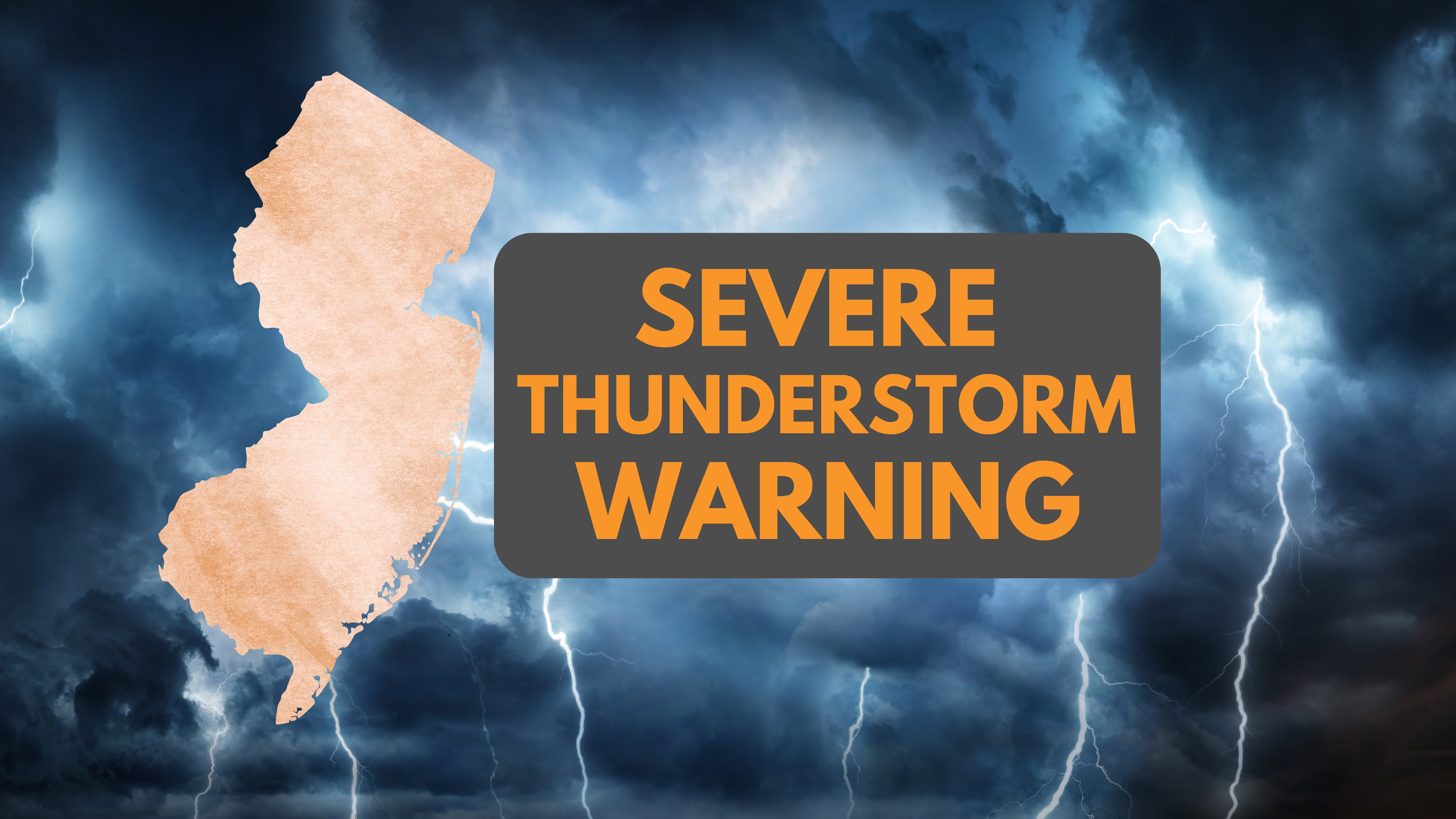
🚨 SEVERE THUNDERSTORM WARNING — CENTRAL/NORTH JERSEY ⛈️⚡
The National Weather Service issued a severe thunderstorm warning for Middlesex, Monmouth, Morris, and Somerset counties until 7:30 p.m. Residents should stay indoors to avoid dangerous lightning, heavy rain, and damaging wind gusts.
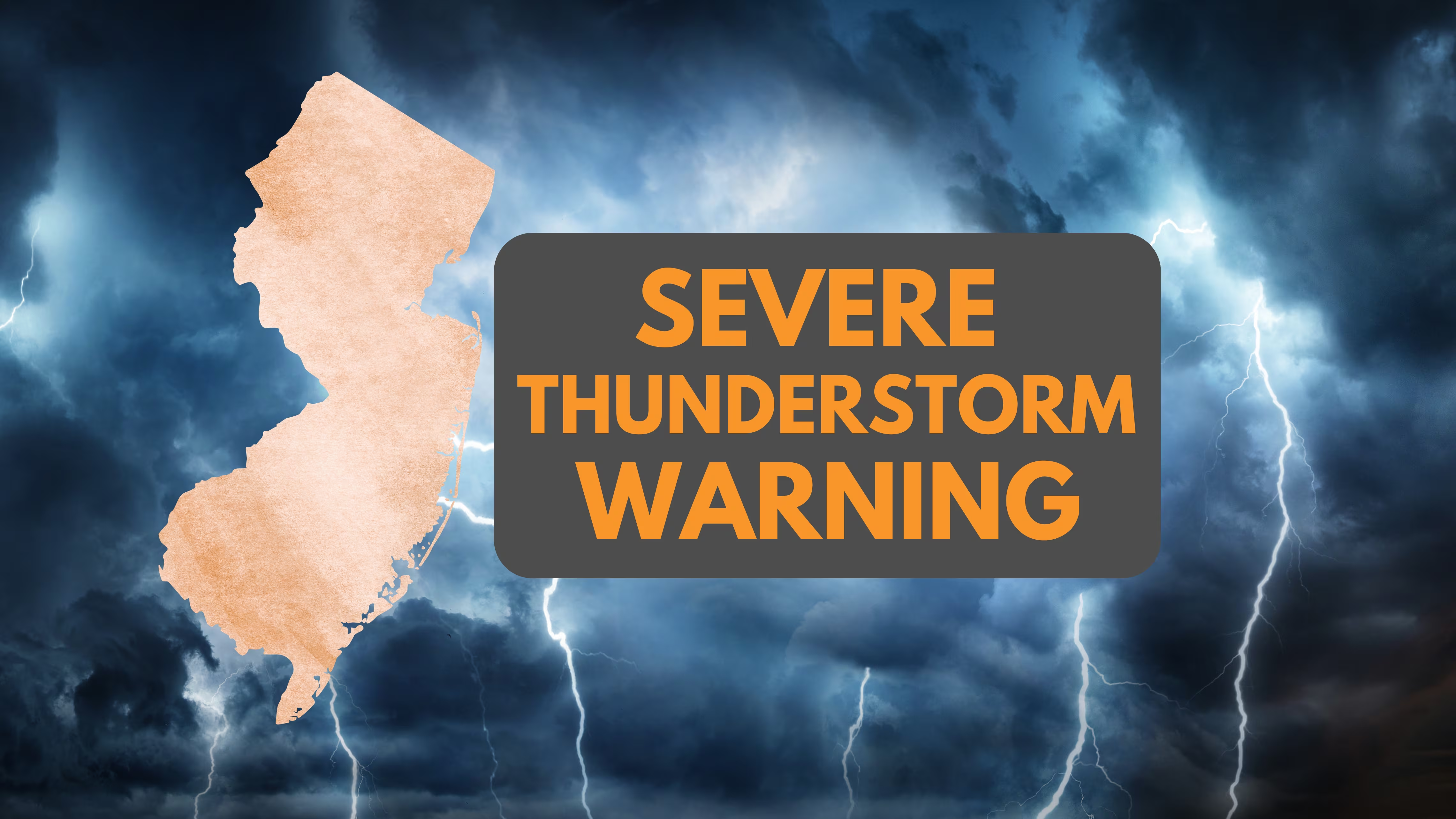
🚨⛈️ SEVERE THUNDERSTORM WARNING ISSUED
The National Weather Service issued a severe thunderstorm warning for Hudson and Union counties until 7:15 p.m. residents should seek shelter immediately to avoid hazards like damaging wind gusts, large hail, and dangerous lightning.
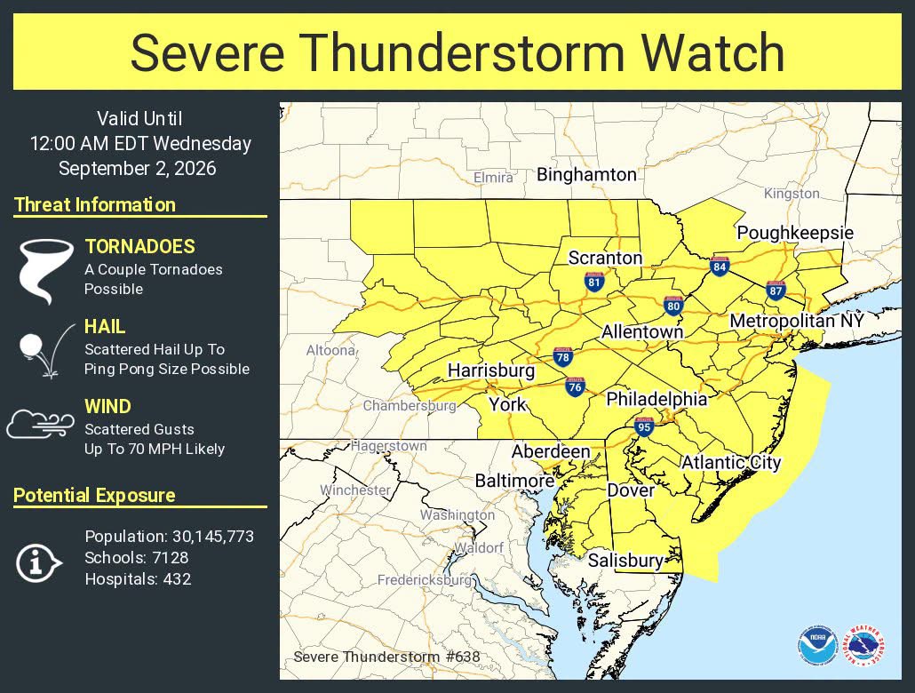
🚨⛈️ BREAKING WEATHER ALERT: SEVERE THUNDERSTORM WATCH ISSUED FOR ALL OF NEW JERSEY
The National Weather Service has issued a Severe Thunderstorm Watch for all 21 New Jersey counties through midnight. Residents should prepare for damaging wind gusts, large hail, and isolated tornadoes as storms move across the state this afternoon and evening.
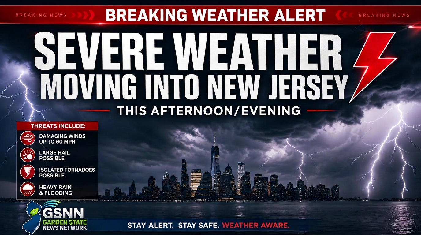
⛈️🚨 SEVERE WEATHER THREAT INCREASES ACROSS NEW JERSEY
Severe thunderstorms moving into New Jersey after 4:00 p.m. today could bring damaging winds, large hail, and isolated tornadoes. Residents should monitor local alerts and stay indoors as heavy rain and frequent lightning continue throughout the evening.
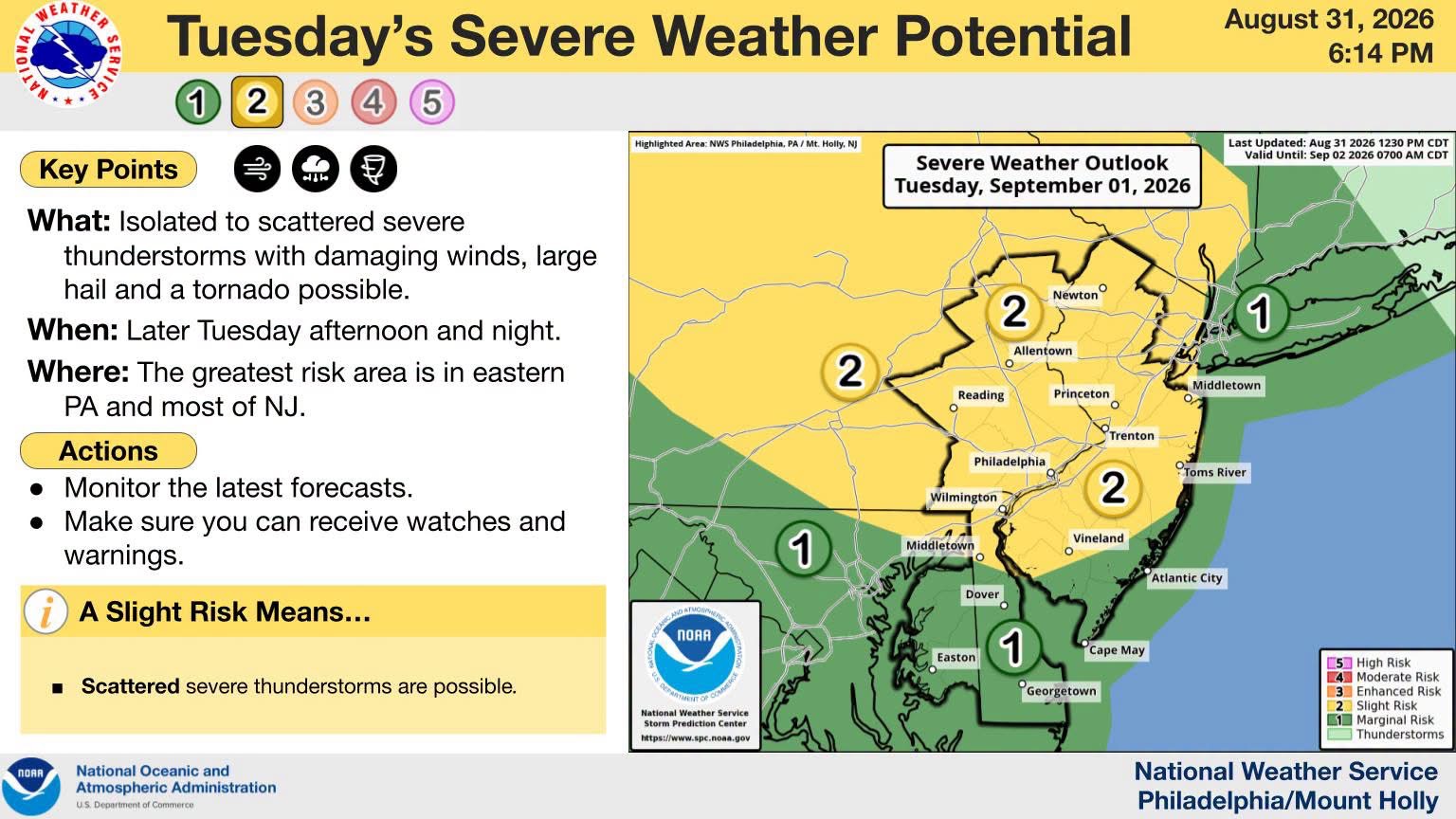
⛈️🚨 SEVERE THUNDERSTORMS POSSIBLE ACROSS NEW JERSEY TUESDAY
Severe thunderstorms could hit New Jersey and eastern Pennsylvania on Tuesday afternoon through tonight. Forecasters warn of damaging wind gusts, large hail, and isolated tornadoes, and they advise residents to stay weather-aware and keep alerts enabled.

🌅 GOOD MORNING & HAPPY TUESDAY — SEPTEMBER 1, 2026! 🇺🇸🌞
New Jersey residents should expect a warm and humid Tuesday with a high near 89 degrees. Afternoon thunderstorms could bring damaging winds, hail, and flash flooding, so officials advise drivers to avoid any flooded roadways.

🌅 GOOD MORNING & HAPPY MONDAY — AUGUST 31, 2026! 🇺🇸☀️
New Jersey will experience humid conditions with a mix of sun and clouds and highs near 81 degrees this Monday. The Garden State may see stray afternoon showers before much hotter weather and potential thunderstorms arrive on Tuesday.

🌅 GOOD MORNING & HAPPY SUNDAY! 🌞 📅 SUNDAY, AUGUST 30, 2026
New Jersey will see a warm and humid Sunday with temperatures reaching the low-to-mid 80s. While mostly dry with a mix of sun and clouds, some areas may experience isolated afternoon showers or thunderstorms.

🌅☀️ GOOD MORNING & HAPPY SATURDAY, NEW JERSEY! — SATURDAY, AUGUST 29, 2026
New Jersey residents can expect a beautiful Saturday with partly sunny skies, low humidity, and comfortable temperatures in the low 80s. The dry weather will continue into a clear night with temperatures dropping into the 50s and 60s.
🚨⛈️ SEVERE THUNDERSTORM WARNING — ATLANTIC, BURLINGTON & CAMDEN COUNTIES
A Severe Thunderstorm Warning is in effect for Atlantic, Burlington, and Camden counties until 3:45 PM. Residents should move indoors immediately to avoid damaging winds, frequent lightning, and heavy rainfall that could cause dangerous travel conditions.
🚨⛈️ SEVERE THUNDERSTORM WARNING EXTENDED — MONMOUTH COUNTY
A Severe Thunderstorm Warning for Monmouth County has been extended until 3:45 p.m. today. Residents should stay indoors to avoid damaging wind gusts, frequent lightning, and heavy rainfall that could cause flooding on local roadways.
🚨🌊 FLASH FLOOD WARNING — CAMDEN, GLOUCESTER & SALEM COUNTIES
A Flash Flood Warning is in effect for Camden, Gloucester, and Salem counties until 3:45 p.m. Heavy rain could cause dangerous flooding in low-lying areas, and residents are urged to avoid driving through flooded roads.
🚨🌊 FLASH FLOOD WARNING — CAMDEN COUNTY
A Flash Flood Warning is in effect for Camden County until 6:45 PM due to heavy rainfall and thunderstorms. Residents should avoid driving through flooded roads and move to higher ground to stay safe from rapidly rising water.
⚠️🌧️ FLOOD ADVISORY — BERGEN, ESSEX & PASSAIC COUNTIES
The National Weather Service has issued a flood advisory for Bergen, Essex, and Passaic counties until 5:15 p.m. Heavy rain could cause minor flooding in areas with poor drainage, and drivers should avoid traveling through water covering the roadway.
🚨⛈️ SEVERE THUNDERSTORM WARNING — BURLINGTON & OCEAN COUNTIES
The National Weather Service has issued a severe thunderstorm warning for Burlington and Ocean counties until 3:15 p.m. Residents should move indoors to avoid damaging wind gusts, lightning, and heavy rain that may cause hazardous driving conditions.
🚨🌊 FLASH FLOOD WARNING — MIDDLESEX & MONMOUTH COUNTIES
A Flash Flood Warning is in effect for Middlesex County and Monmouth County until 6:15 PM today. Heavy rain and thunderstorms could cause dangerous flooding in low-lying areas, so drivers should avoid flooded roads and move to higher ground if necessary.
🚨⛈️ SEVERE THUNDERSTORM WARNING — CAMDEN, GLOUCESTER & SALEM COUNTIES
A Severe Thunderstorm Warning is in effect for Camden, Gloucester, and Salem counties until 3:00 PM. Residents should move indoors immediately to avoid damaging wind gusts, frequent lightning, and heavy rain.
🚨🌊 FLASH FLOOD WARNING EXTENDED— GLOUCESTER COUNTY
A Flash Flood Warning is in effect for Gloucester County until 3:30 p.m. following heavy rainfall and thunderstorms. Residents should avoid driving through flooded roads and move to higher ground if water begins to rise near their location.
🚨⛈️ SEVERE THUNDERSTORM WARNING — MONMOUTH COUNTY
A Severe Thunderstorm Warning is in effect for Monmouth County until 3:00 p.m. today. Residents should move indoors immediately to avoid damaging winds, frequent lightning, and heavy rain that may cause hazardous driving conditions.
🚨🌪️ TORNADO WARNING — SALEM COUNTY
A tornado warning is in effect for Salem County until 2:30 p.m. following reports of a tornado in the area. Officials urge residents to seek shelter immediately in a sturdy building on the lowest possible floor and stay away from windows.